North Country Trail: Southern Cook Forest State Park
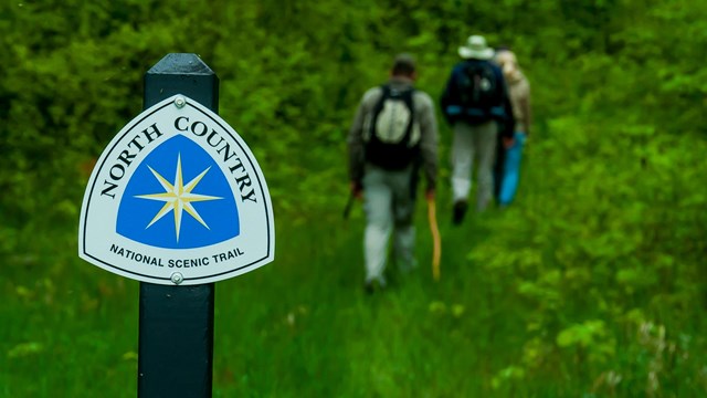
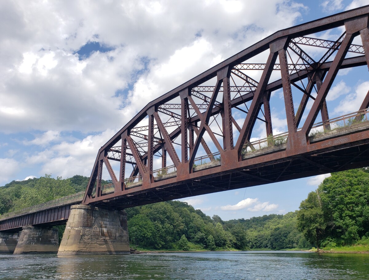
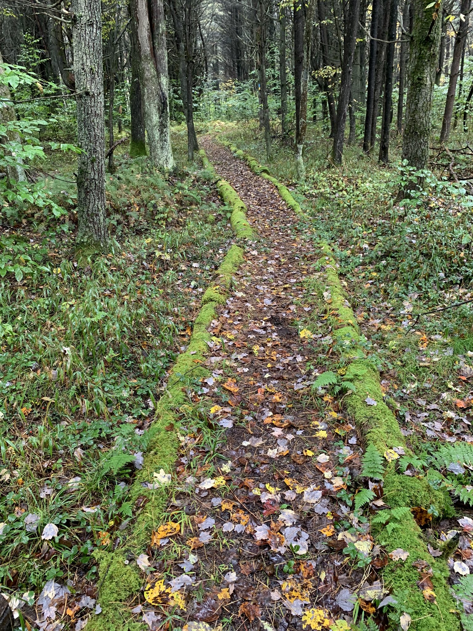
This trail starts with a piece of trail that connects Forest Drive to Route 36. After crossing Route 36, the trail ascends the hillside and continues on to the Seneca Point area of Cook Forest. There is an overlook, a fire tower and many side trails in the Seneca Point area. From Seneca Point, the trail descends through a hillside covered with mountain laurel to the banks of the Clarion River. The trail follows the river to Henry Run. This is a very scenic section of the Clarion River and along this stretch, you’ll have nice views of Hemlock Island. At Henry Run (N41° 19.282 W079° 13.620), there is a dam-created waterfall that was built to run a logging era sawmill. The trail crosses Henry Run using a cut stone bridge that was once part of the structure. After crossing Henry Run, the NCT diverts from Baker Trail, cutting to the right and up over the hillside, while Baker Trail continues onward to the Clarion River. The trailheads across this hilltop on its way to Gravel Lick Road. Scurry Overlook, with a nice view of the Gravel Lick area of the Clarion River, is located just before descending to Gravel Lick Road.
Address
South End of Forest Drive
Cook Forest, PA 16217
Phone
More Info
Visit Website
ActivitiesCultural & HistoricalEntertainment
Lincoln Hall @ Allegheny Riverstone Center for the Arts (ARCA)
42 S Palmer St
Foxburg, PA 16036

