Clarion County, PA
Maps and Brochures
Embark on your adventure
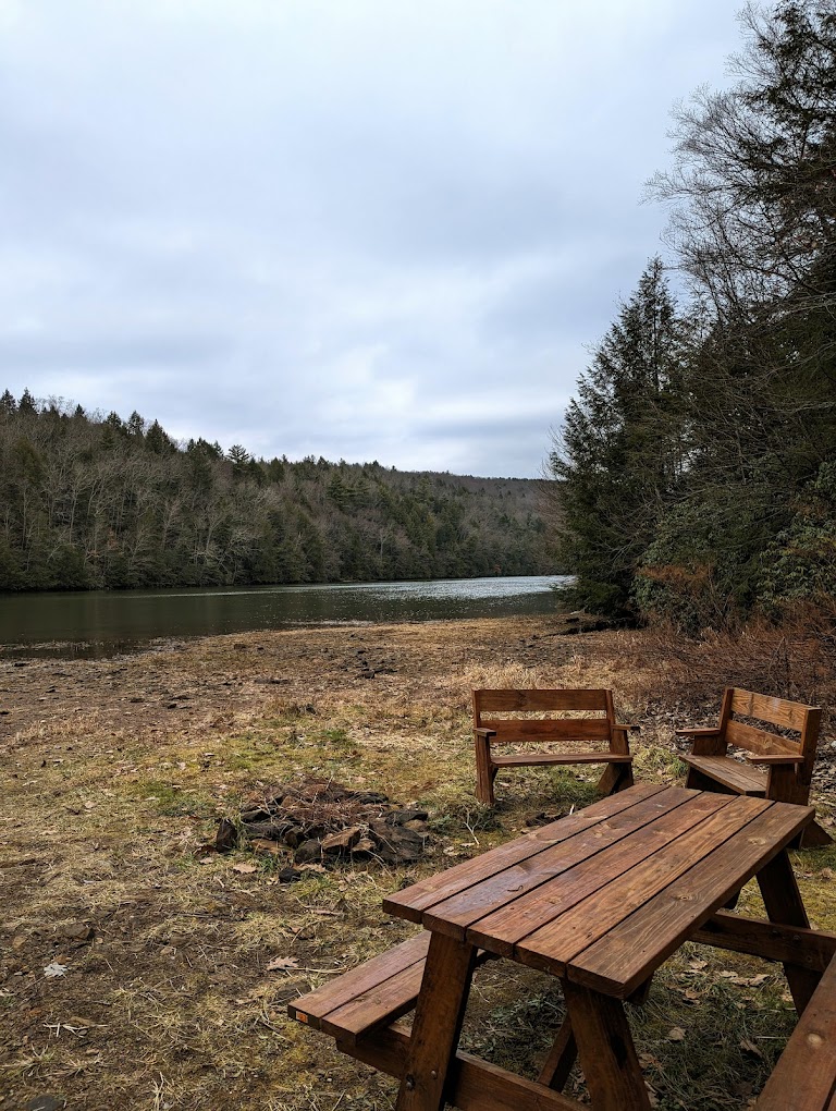
Wake up refreshed and ready for your next adventure, whether it’s conquering a challenging hiking trail or casting your line in search of the perfect catch. Clarion County is your trailhead to happiness, and we’re here to make your stay unforgettable!

2025 Getaway Guide
This 60 page guide covers places to stay, eat, and activities across the region. Discover the best trails to hike & bike, streams to fish, and areas to kayak or tube with the gentle current of the Clarion and Allegheny Rivers.

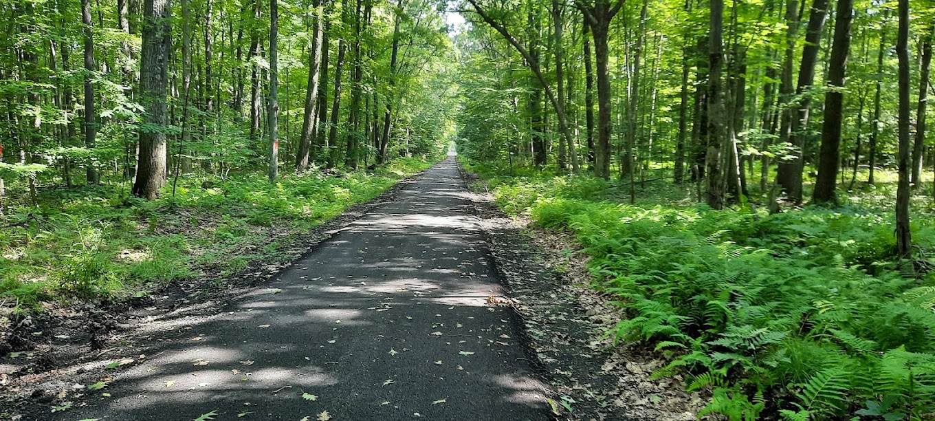
Clarion County Trail Map
This guide is a good resource for outdoor exploration and adventure. It features a high-level map of waterways, access points, hiking and biking trails, ATV paths, and horse trails, helping you plan your visit to Clarion County’s outdoor offerings with ease. Additionally, it highlights each of the county’s five regions, showcasing their unique attractions, activities, and natural beauty. This guide is good start to have an overview of what Clarion County has to offer.

Brews & Wines
Another trail map and guide for a tour of Clarion County’s wineries and breweries.

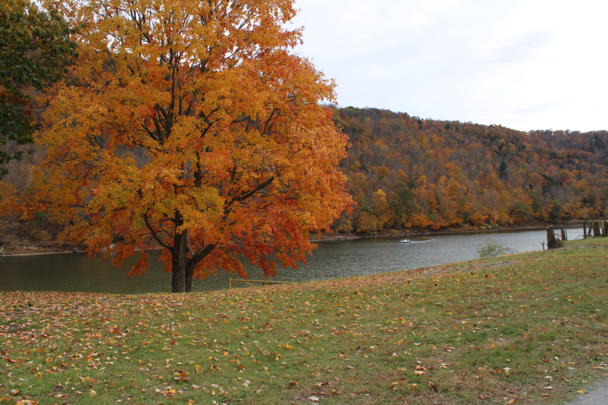
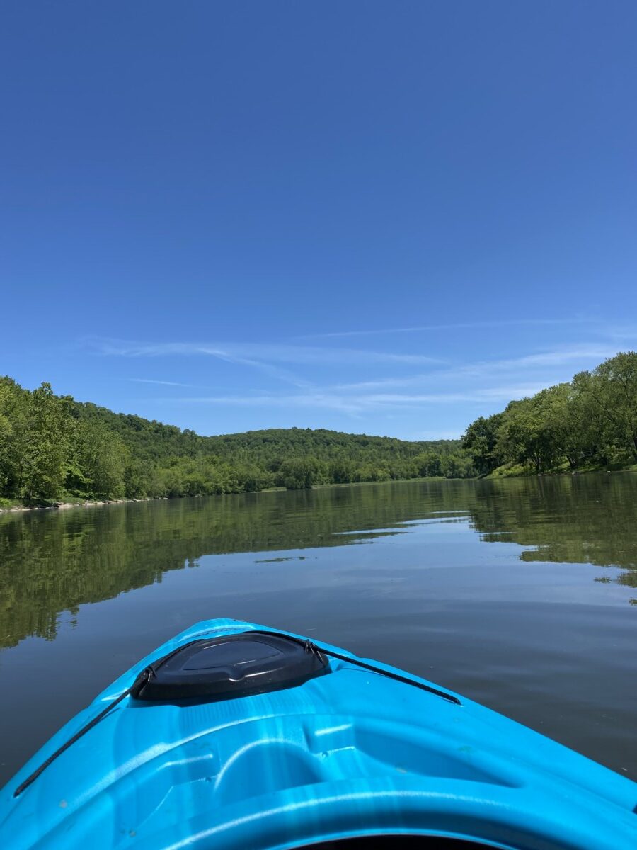
Clarion Water Trail Map
This Cook Forest State Park Clarion Water Trail Map is a good resource for paddlers and nature lovers to access points and highlights for exploring the scenic Clarion River.
Cook Forest
Cook Forest is a wonderland for families, outdoor enthusiasts, and adventure seekers. It serves as a peaceful refuge for those seeking to escape crowds and reconnect with nature. Plenty of resources are available online from maps, to hiking and water trail guides.
Here are some useful links to help with your visit planning:
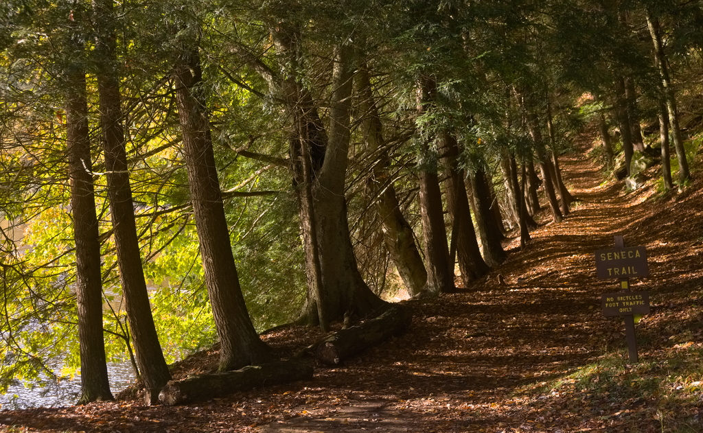
Photo by: Stephen Sepan
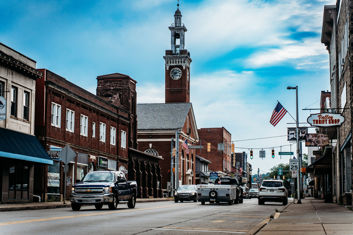
Allegheny Riverlands
Part of the Allegheny Riverlands, check out the informational brochures for the towns of East Brady and Foxburg for insight on places to visit.
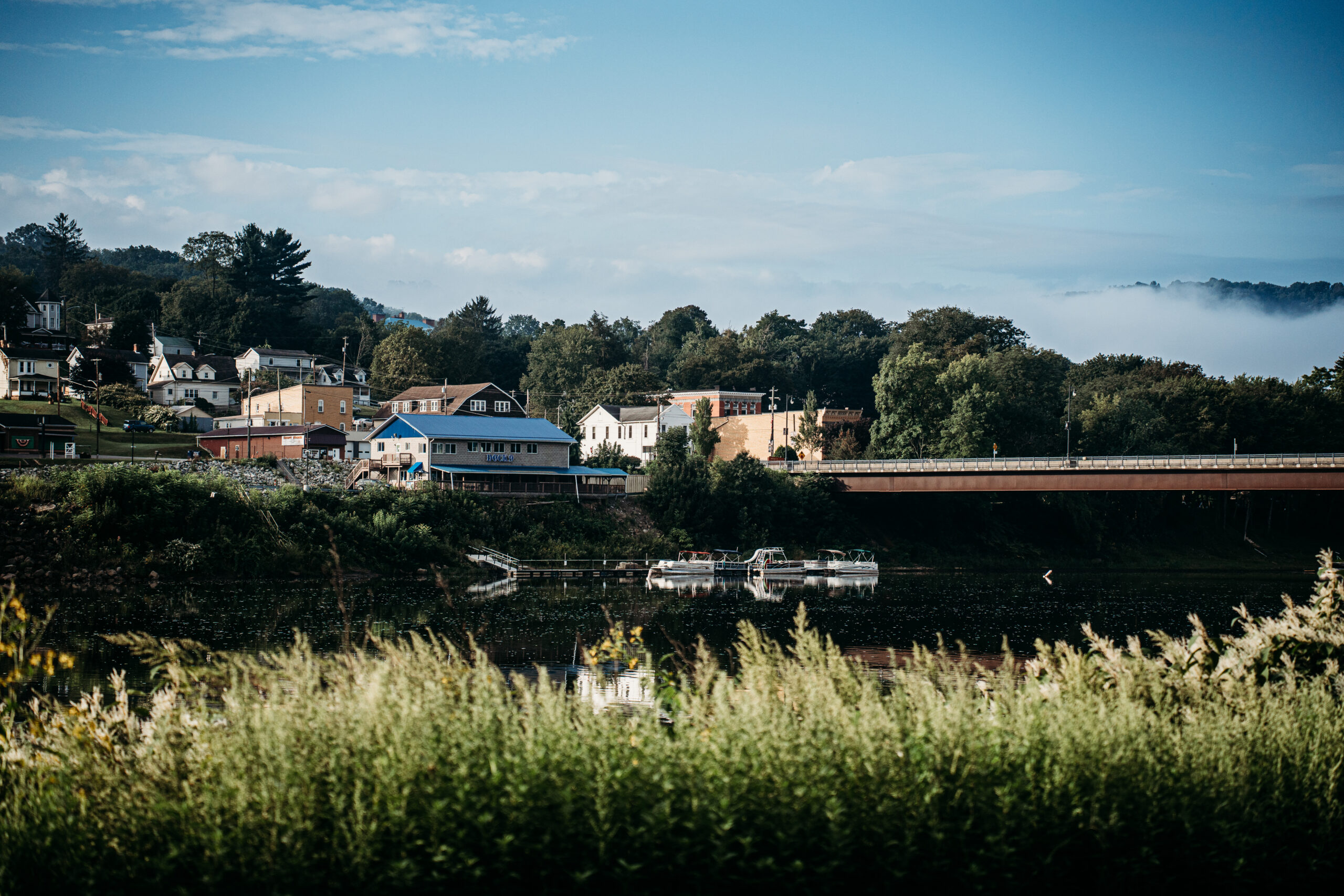
Clarion Riverlands
Check out the Clarion Riverlands’ related trail maps.